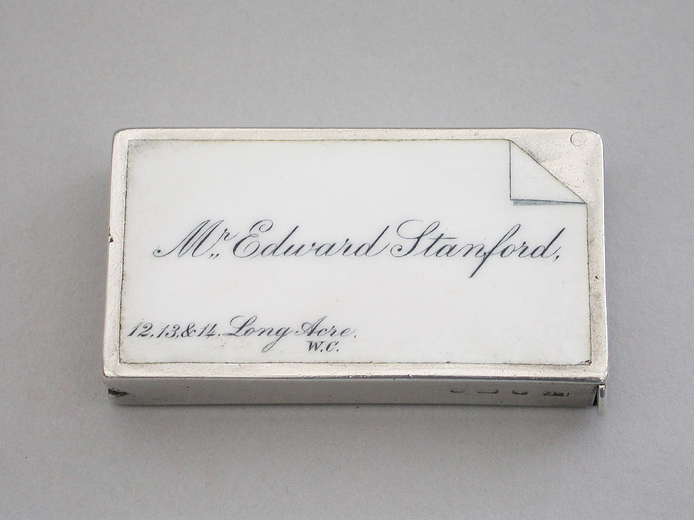
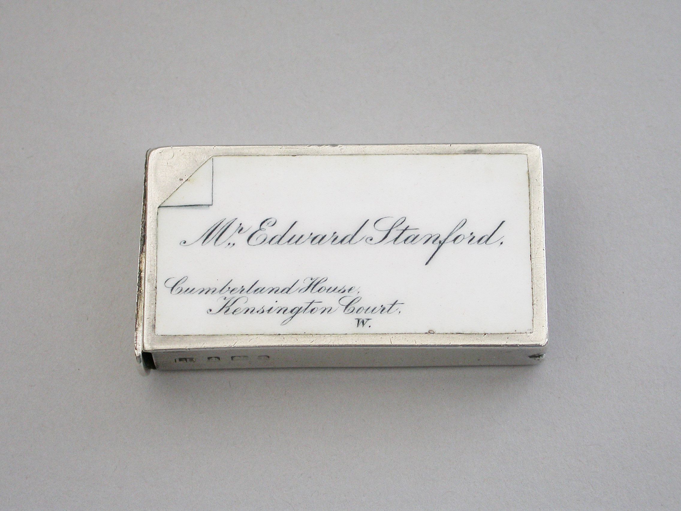
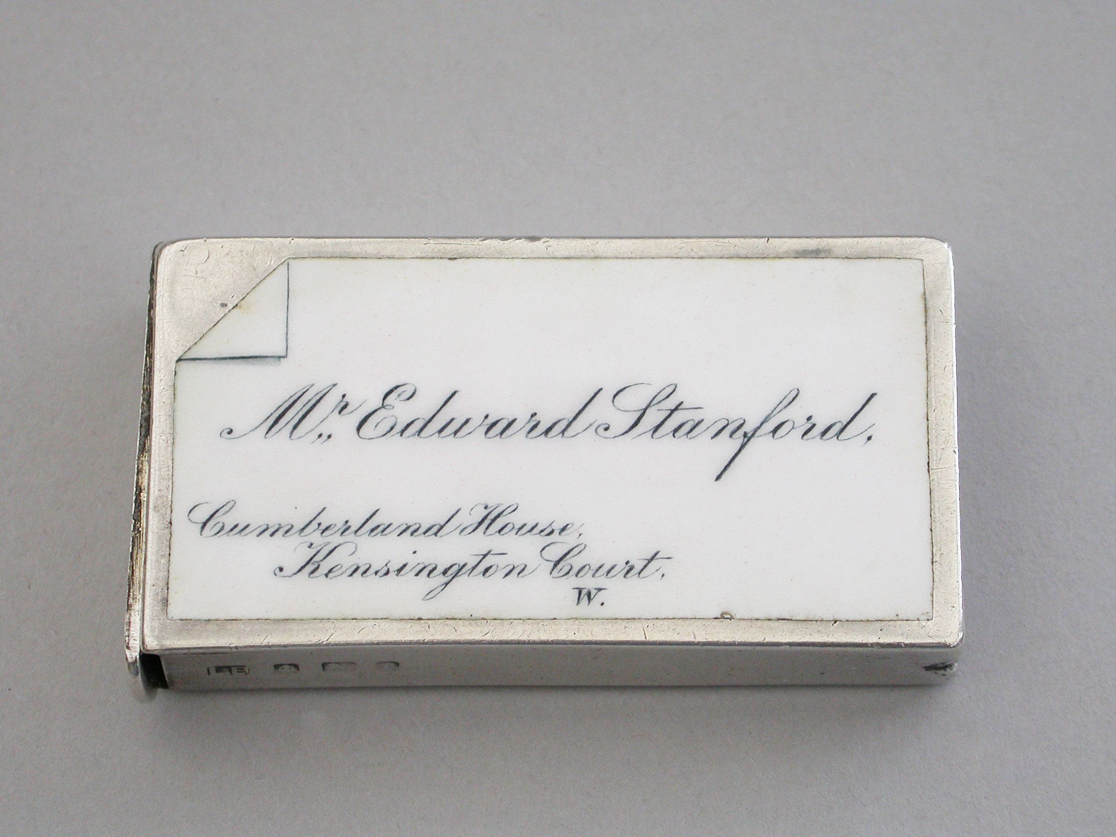
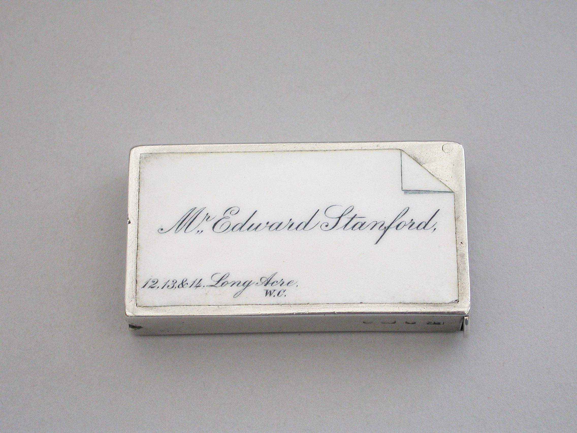
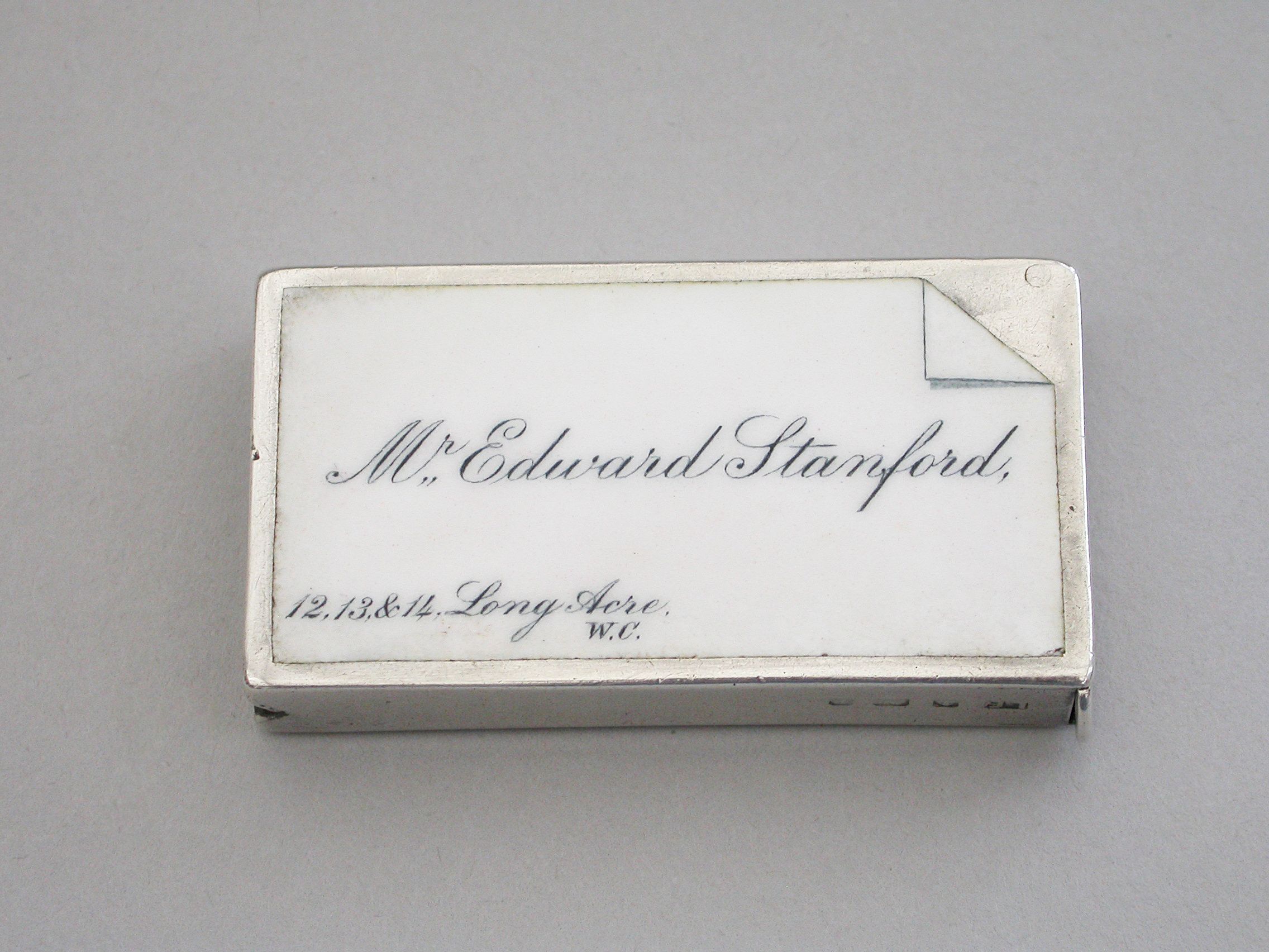
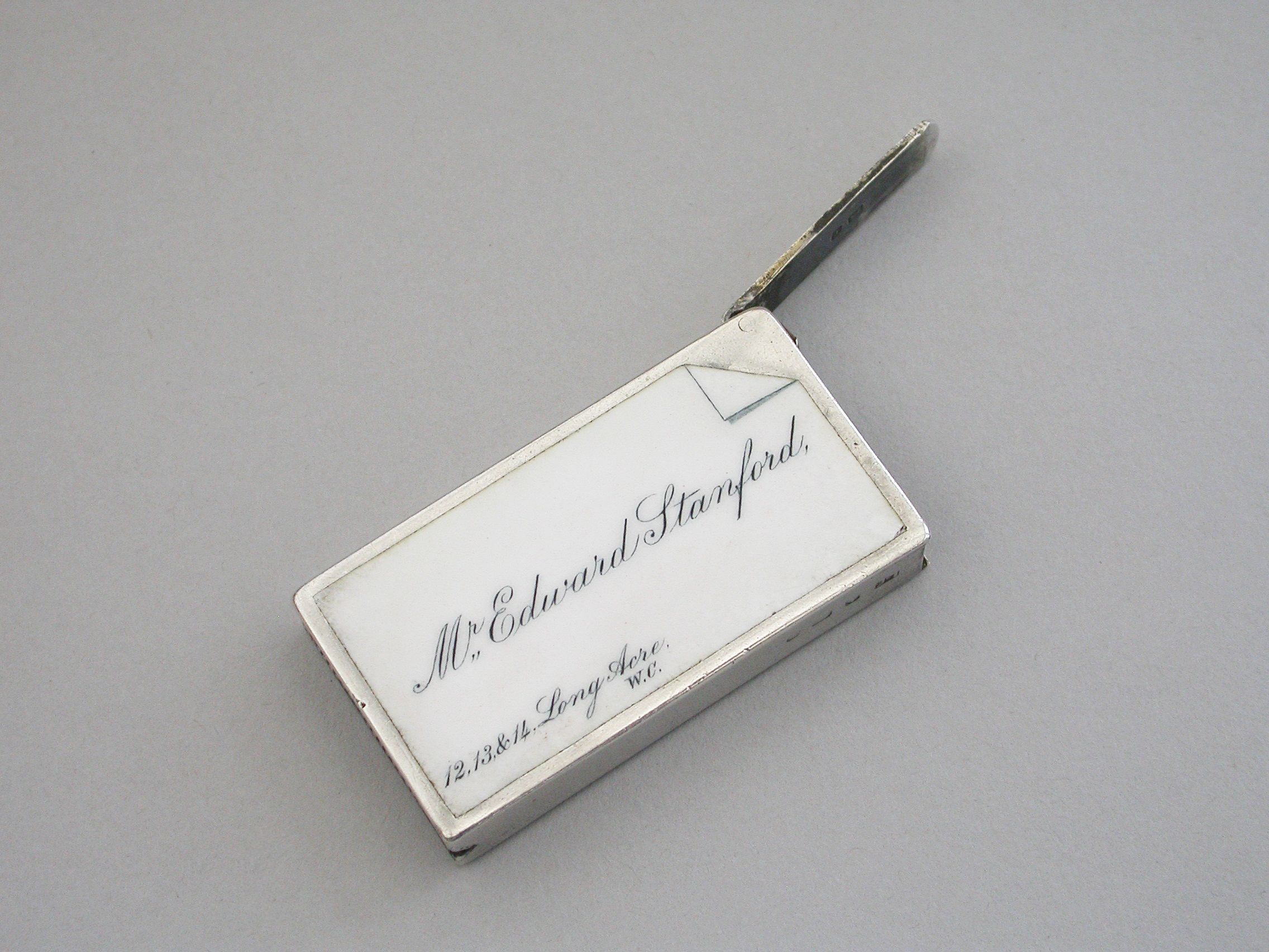
Edwardian Silver & Enamel Double Sided Calling Card Vesta Case - Mr Edward Stanford Cartographer to the King
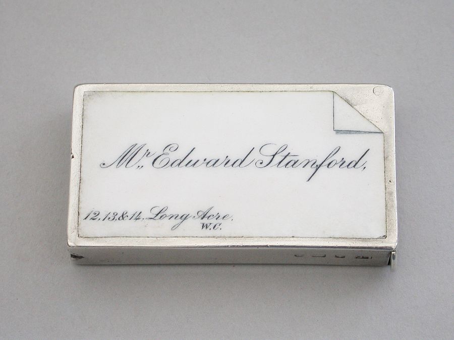
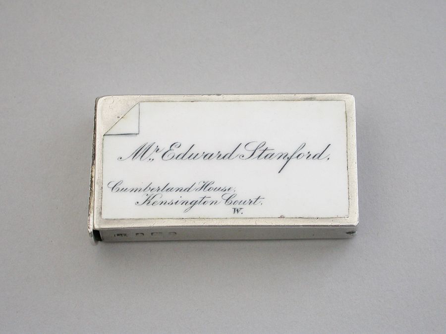
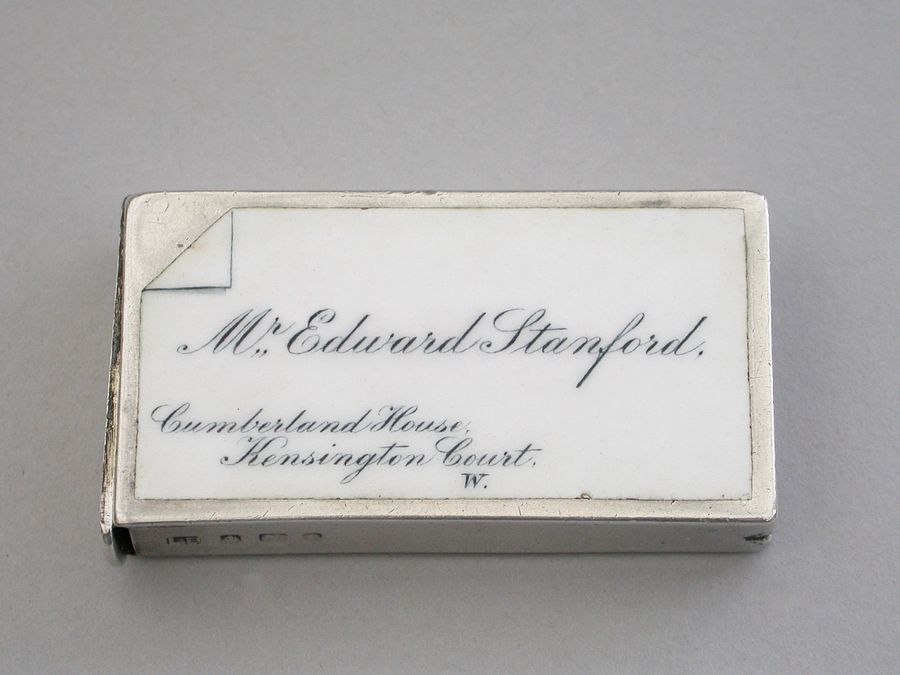
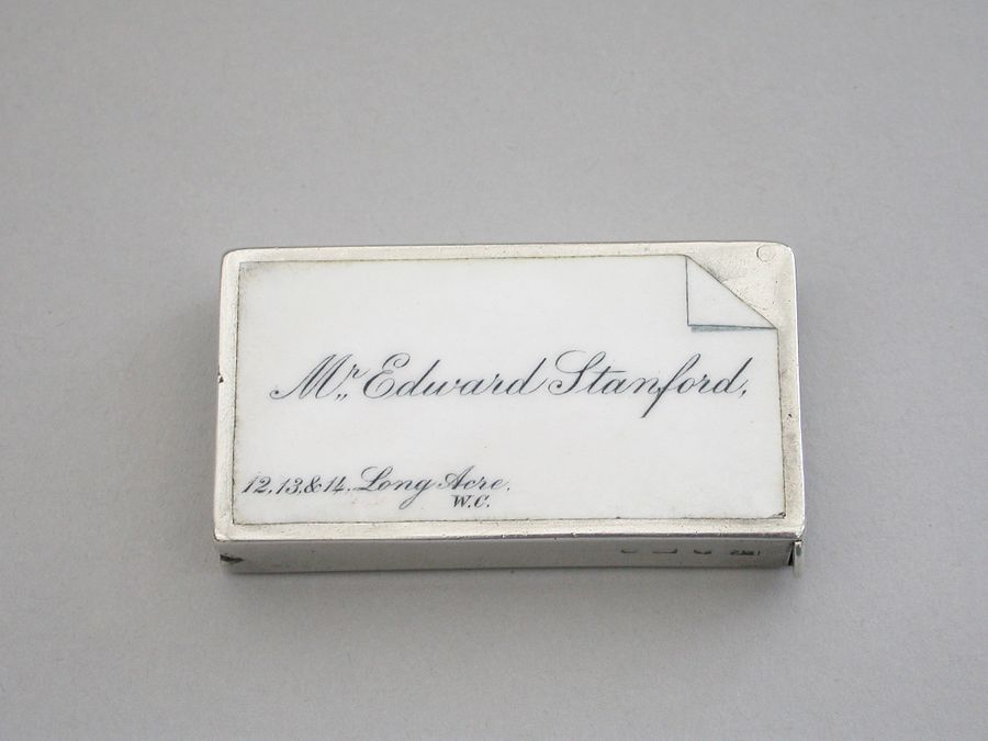
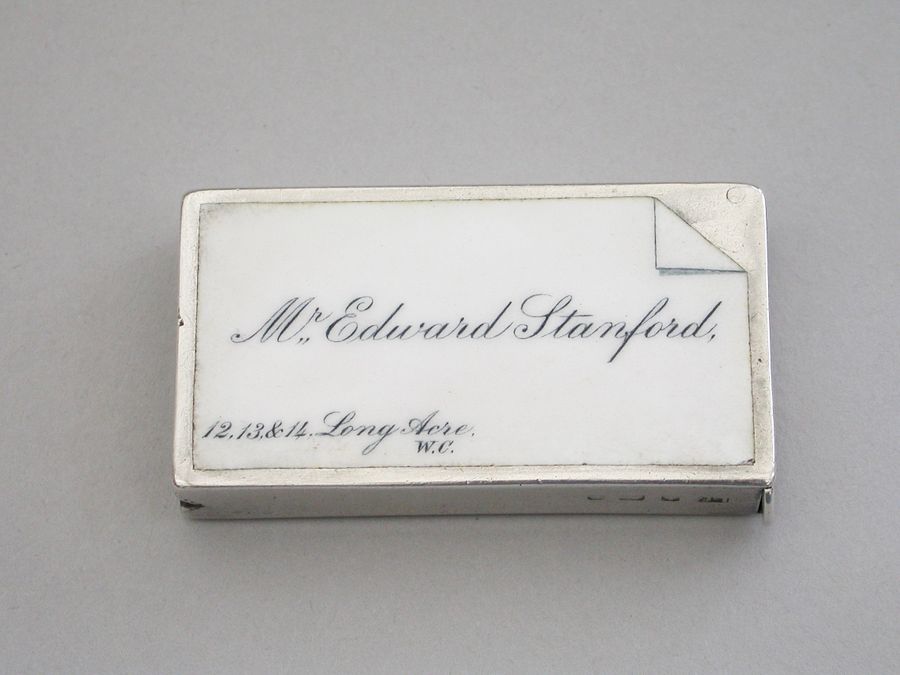
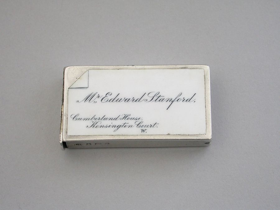
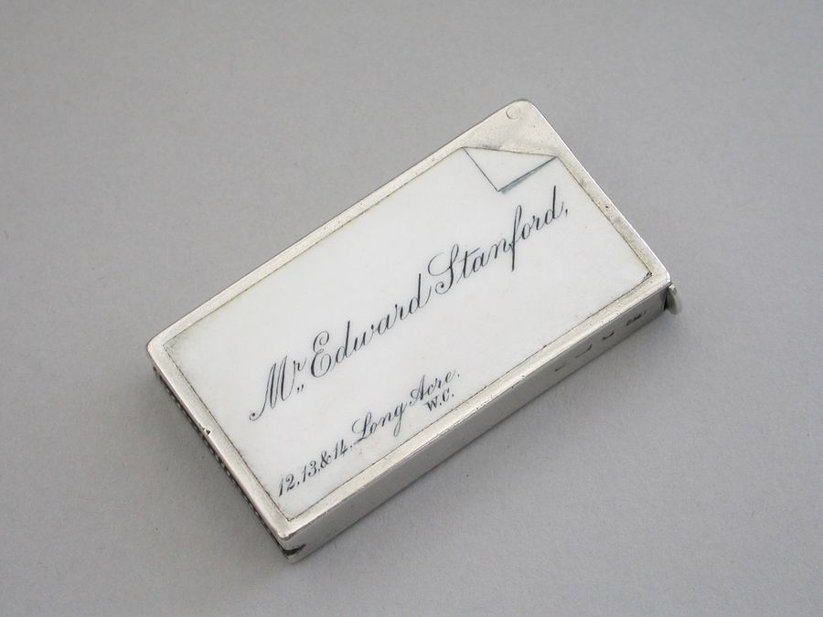
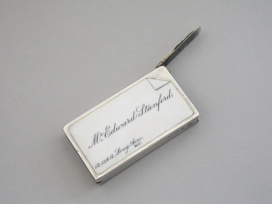
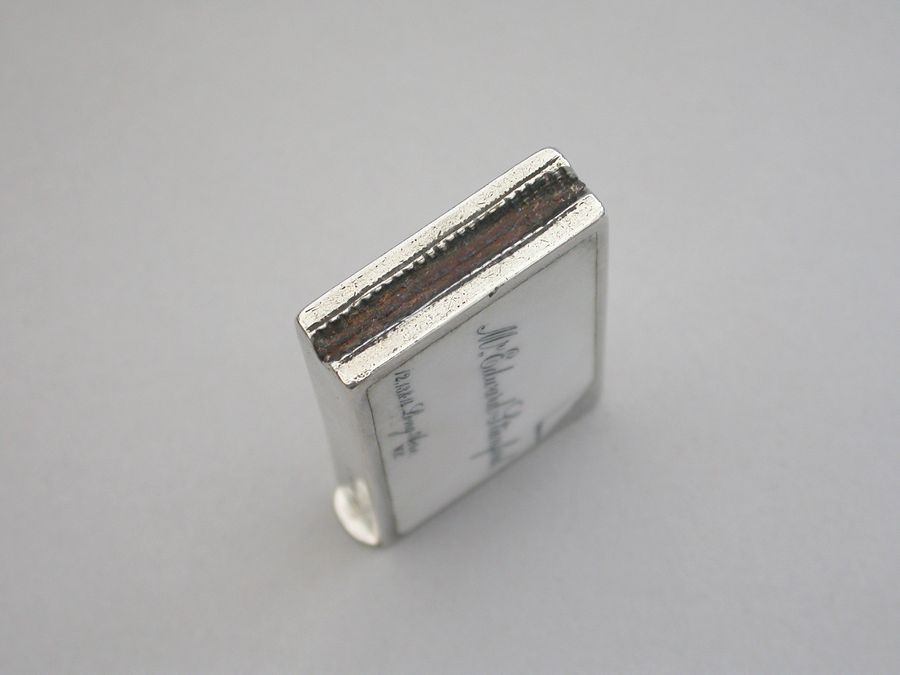
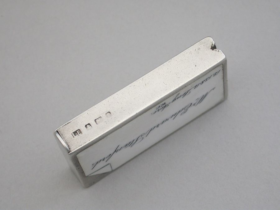
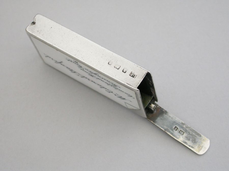
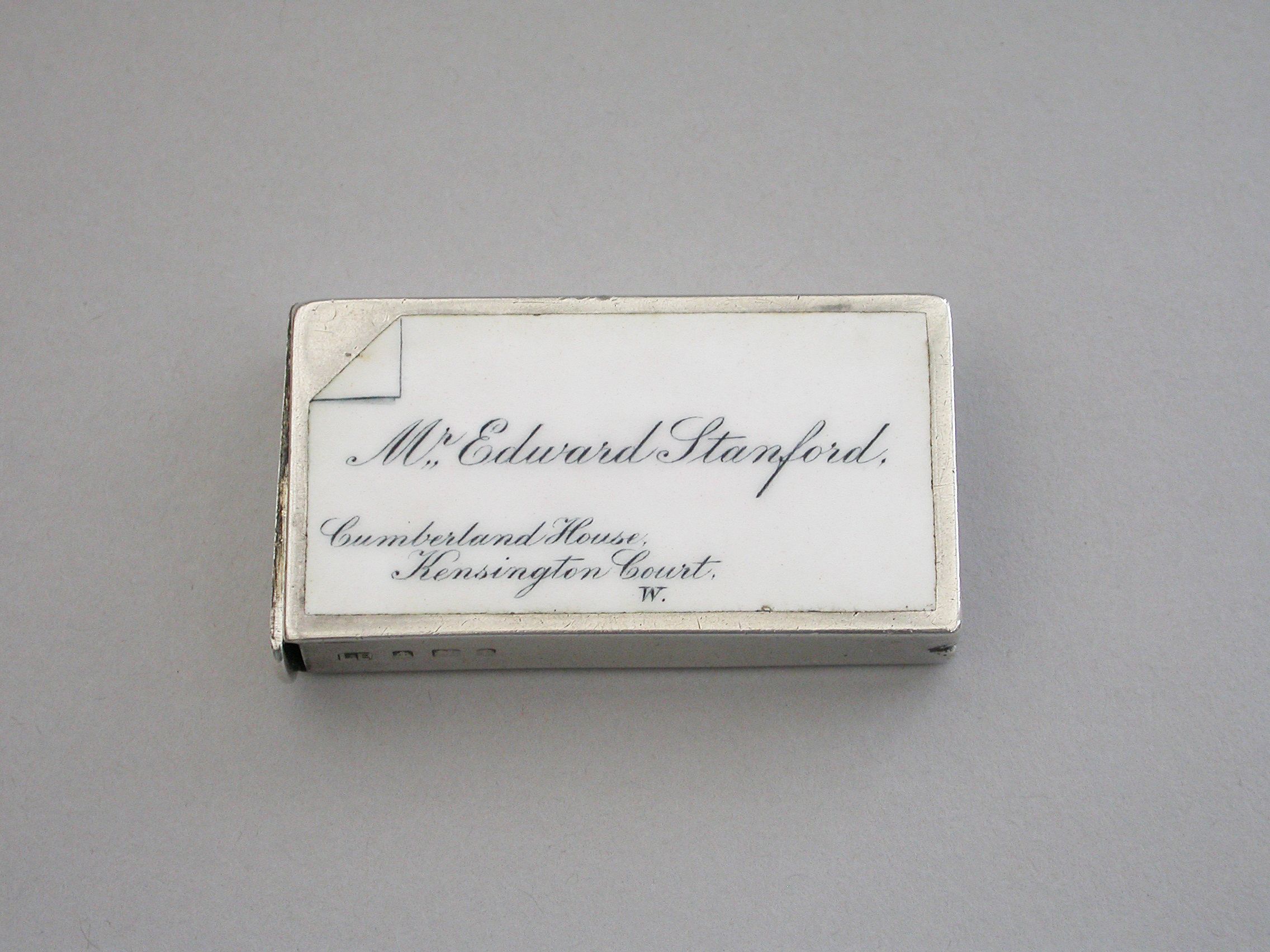
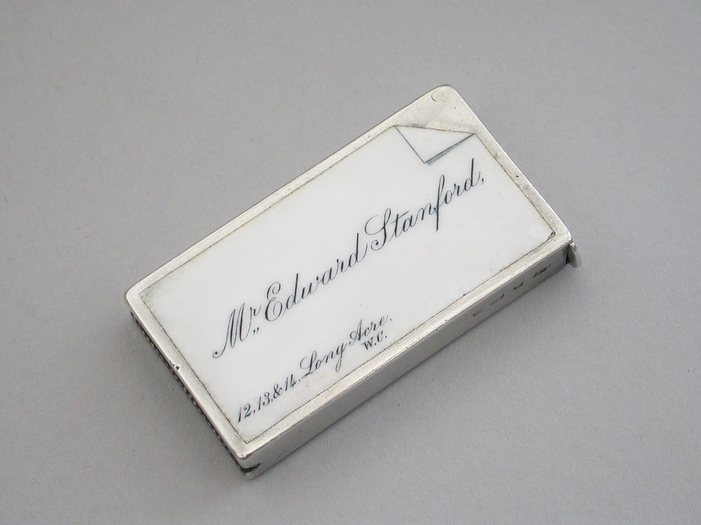
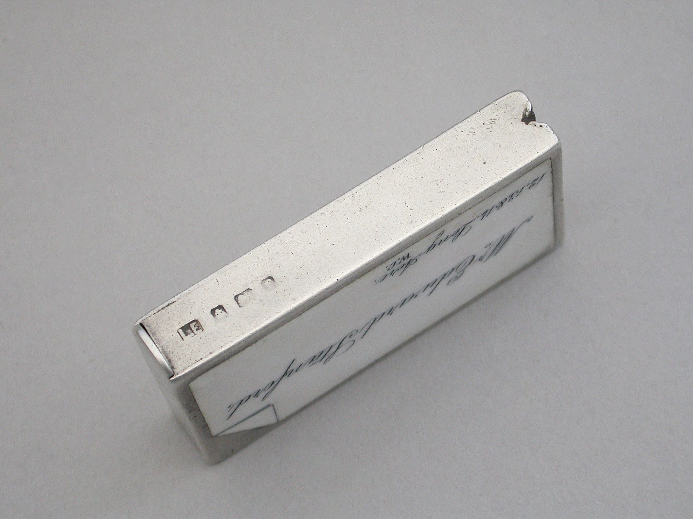
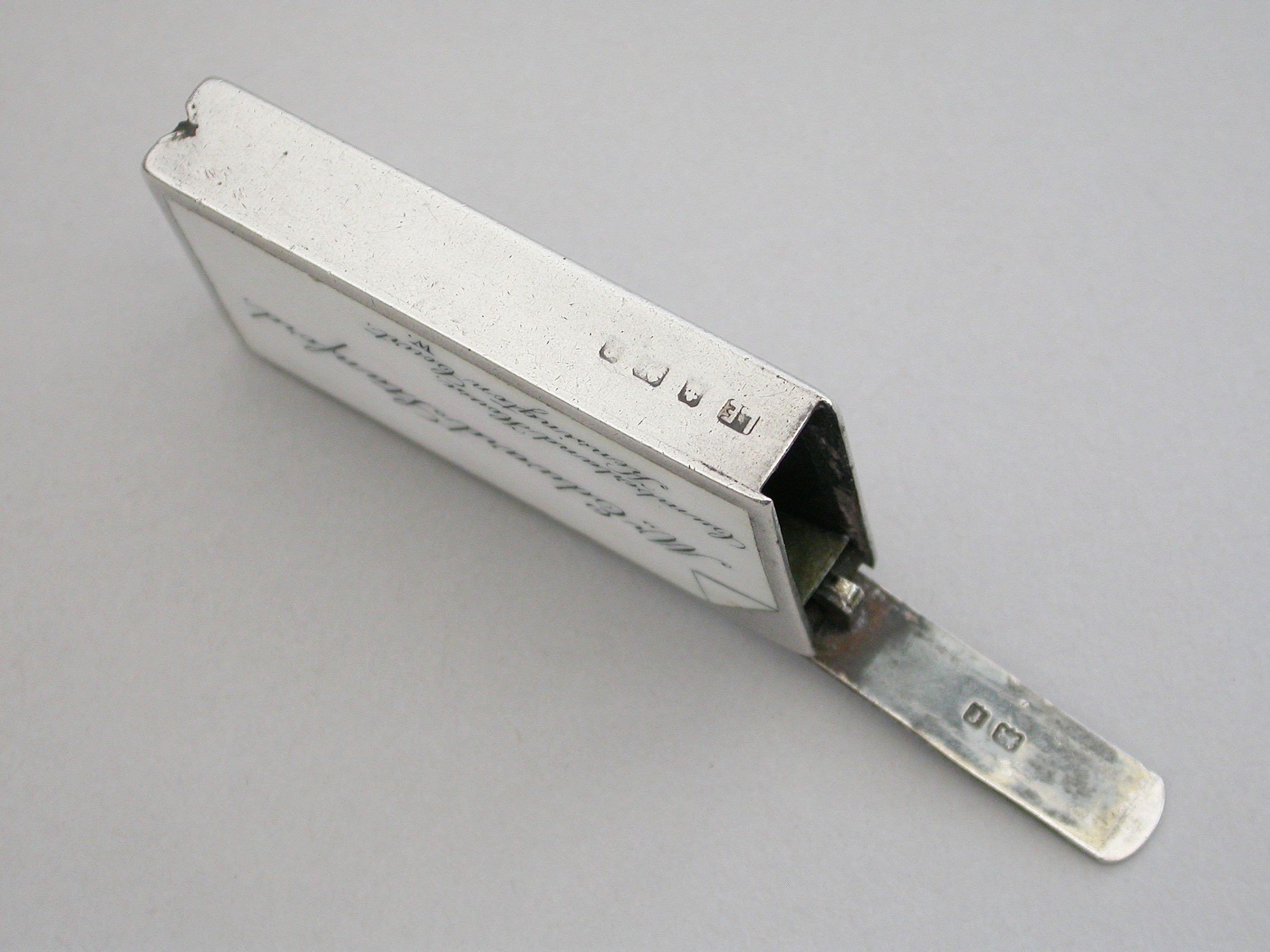
An interesting Edwardian silver & enamel double sided “Calling Card” Vesta Case of rectangular form with sprung flat-top hinged lid, both sides with inset white enamel panels, one painted with the name and address - “Mr Edward Stanford, 12, 13, 14 Long Acre, W.C ", and the other; "Mr Edward Stanford, Cumberland House, Kensington Court, W.” Reflecting Mr Stanford's home and business addresses.
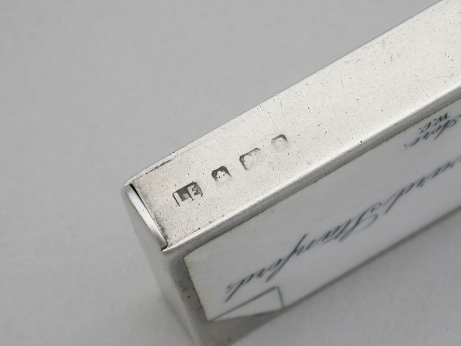
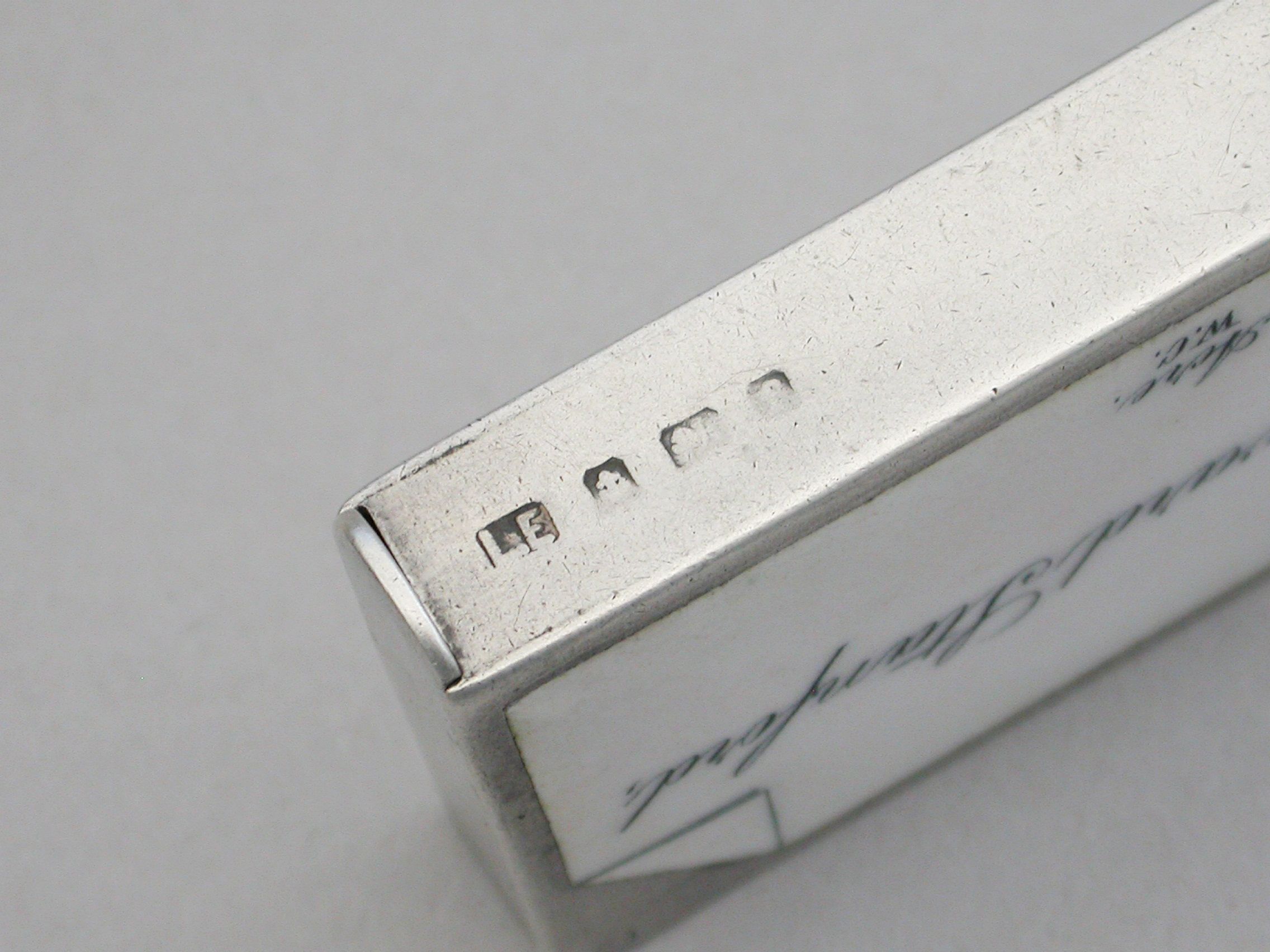
By Lawrence Emmanuel, Birmingham, 1906.
This vesta case almost certainly relates to Edward Stanford II – see below:-
Edward Stanford I rose to prominence during the height of the Victorian age and was born into a family of tailors and drapers in 1827. He attended the City of London School and afterwards in 1848 was employed by Trelawney Saunders, a seller of maps and charts in a stationer’s shop at 6 Charing Cross where just four years later, in 1852, he was made a partner in the business. Later that same year however the partnership was dissolved.
In 1853 Stanford became sole proprietor and expanded his shop to 7 and 8 Charing Cross whilst acquiring premises on Trinity Place for a printing works. Stanfords became the largest, map maker and seller in London at a time when British colonialism, the rise of the railways and the continuing popularity of the Grand Tour, meant demand for readily accessible, high quality cartography was building at remarkable pace.
Stanford, together with Chief Cartographer John Bolton, set about work on a series of continental library maps, the first being his Library Map of Europe in 1858. Bolton would work for the company for 67 years, working on a wide variety of maps, including the 1862 Library Map of London which was recognised on its publication as “the most perfect map of London that has ever been issued.” by the Royal Geographical Society.
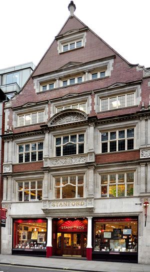
By 1873 the company had started to outgrow even its expanded premises and moved to 55 Charing Cross. At the same time, the print works moved to 12-14 Long Acre, the site of what became the flagship shop. By 1877, some 24 years after its establishment, the company was in a position to acquire the prestigious Staunton & Son, the official “Stationers to the Queen” a mark of quite how far Edward Stanford, and his business, had come.
In 1885, at the age of 58, Stanford retired passing over the company to his son, Edward Stanford II, who had had taken over day to day sales and marketing three years earlier. Edward Stanford I would die in 1904 at the age of 77. At this point, Stanfords had become the sole agents for Ordnance Survey Maps in England and Wales and in 1887 published Stanford’s London Atlas Of Universal Geography dedicated to Queen Victoria on the occasion of her Royal Jubilee. Edward Stanford II received his royal warrant as Cartographer to the Queen, in 1893.
At the turn of the century, Stanford II made the decision to combine the company’s retail, print and cartographic works under one roof at the Long Acre site. Renovation was completed in 1901 when the doors opened to receive notable personalities of the day such as Florence Nightingale, Frederick Lugard, John Murray, Ernest Shackleton, Captain Scott and Francis Younghusband. As the Victorian Era gave way to the Edwardian, with the ascension on Edward VII to the throne in 1902, Stanford maintained his Royal role as the Cartographer to the King. With the outbreak of war in 1914 Stanfords became an integral publisher for the War Office. During World War I, in 1917, Edward Stanford II died and his son Edward Fraser Stanford assumed control of the business at the age of 32. The business continues to this day.
Sold - £650.00

